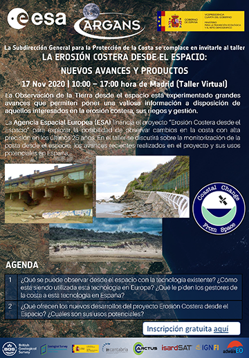
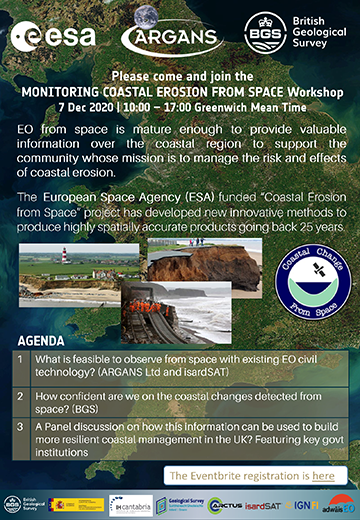
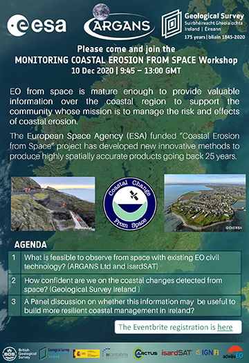
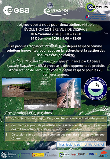
Project Deliverables
Publication
Advances on coastal erosion assessment from satellite earth observations: exploring the use of Sentinel products along with very high resolution sensors Eighth International Symposium Monitoring of Mediterranean Coastal Areas. Problems and Measurement Techniques Livorno (Italy), June 2020 DOI:10.36253/978-88-5518-147-1.41
Data Access
Data products within scope of the ESA project will be maintained at the AdwäisEO Luxembourg Data Centre until early 2022. Data access may be requestioned by interested parties. Applications for registration should be completed and forwarded to the appropriate sponsoring consortium partner. PRODUCT REQUEST APPLICATION
Success Story
Paula Gomes (left) and Jara Martínez (right), at the IHCantabria headquarters, describe their participation in the project Coastal Erosion from Space read more
